WASHINGTON, D.C., USA – After the 4.8 magnitude earthquake that struck New Jersey on April 5th, scientists can still not pinpoint the fault responsible. Over 50 aftershocks have been recorded since the initial quake, prompting the US Geological Survey (USGS) to deploy new sensor equipment to aid in locating the fault line.
The USGS announced on Thursday that it has installed five new seismometers near the earthquake site to monitor ongoing seismic activity. Collaborating with researchers from the University of Texas, Rutgers University, Yale University, and Columbia University, efforts are underway to install an additional 20 monitors to assist in mapping the fault network.
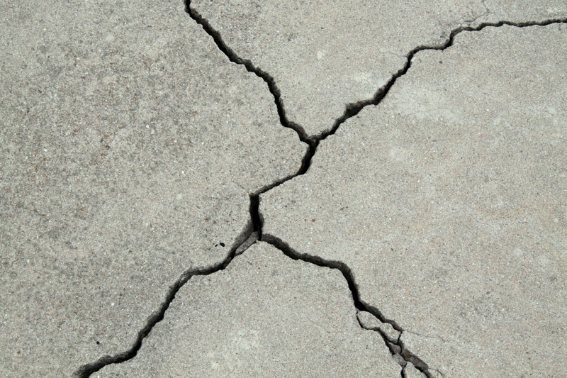
The earthquake, the strongest in New Jersey in over two centuries, left no visible surface rupture. Despite utilizing light detection and ranging (LiDAR) technology to detect hidden geological features, pinpointing the exact location of the quake has proven elusive.
Researchers speculate that the earthquake originated from an ancient fault line in New Jersey, but its precise location remains unknown. Concerns arise as the fault could be located in densely populated areas, posing risks for future seismic events.
Funding cuts have hindered efforts to enhance monitoring capabilities, with fewer than half of the monitoring stations operational at the time of the earthquake. However, ongoing efforts aim to improve data collection and analysis to understand better and predict seismic activity in the region.
Despite initial expectations of a higher frequency of aftershocks, their occurrence has been fewer than anticipated. Nevertheless, scientists anticipate continued seismic activity for the coming weeks, with aftershocks potentially persisting for months.
The newly installed monitoring equipment is expected to remain in place for the next three to six months, providing valuable data for ongoing research into seismic activity in the Northeast region.

