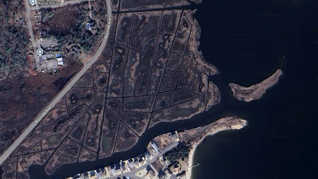
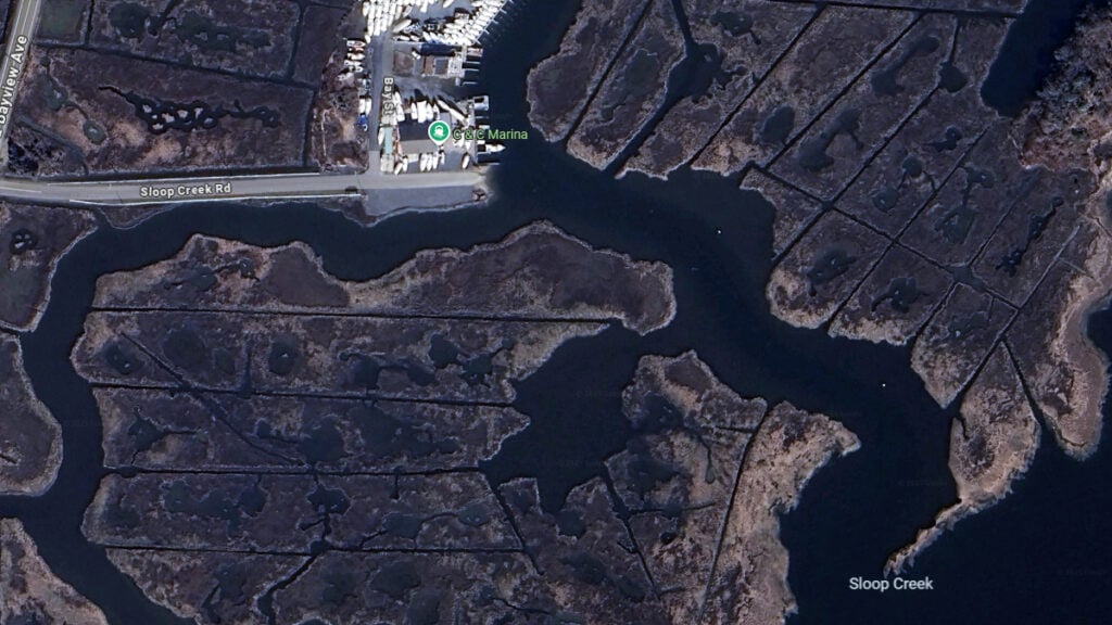
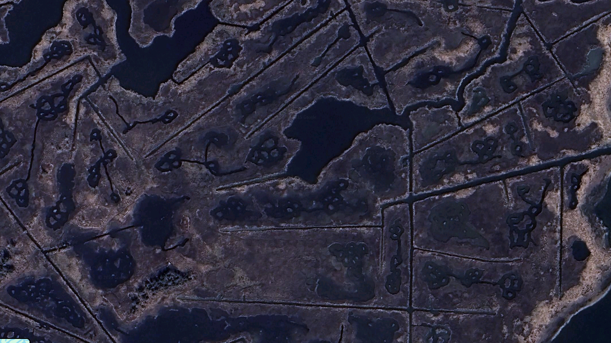
From above, New Jersey’s coastal wetlands and marshes present a striking and perplexing sight: a network of mysterious squares and straight lines cutting through the lush green expanse.
These geometric patterns, visible on satellite imagery and aerial views, have long puzzled residents, visitors, and researchers alike.
Are they the work of ancient civilizations, modern engineering, or something more unexpected? Recent investigations into these enigmatic features reveal a fascinating story rooted in history, ecology, and human intervention.
New Jersey boasts over 200,000 acres of salt marshes, vital ecosystems that serve as nurseries for fish, crabs, and birds while acting as natural buffers against flooding and erosion. Stretching from the Delaware Bay to the Meadowlands, these coastal wetlands are a defining feature of the state’s shoreline. Yet, woven into their natural beauty are these unnatural grids and channels, prompting curiosity about their origins.
Experts point to a surprisingly practical explanation: mosquito control. Beginning in the early 20th century, particularly during the Great Depression, agencies across the eastern United States, including New Jersey, embarked on ambitious projects to curb mosquito populations. Salt marshes, with their standing water, were prime breeding grounds for these pests, which were not only a nuisance but also vectors for diseases like malaria. To combat this, workers—often employed through New Deal programs like the Works Progress Administration (WPA)—dug parallel ditches and canals through the marshes. These straight lines and grid-like patterns were designed to drain stagnant water or allow tidal flushing to disrupt mosquito breeding cycles.
“You see these patterns all along the Atlantic coast, from New Jersey to the Carolinas,” explained one expert. “The idea was simple: remove the water, remove the mosquitoes. But the execution left a lasting mark on the landscape.”
Historical records support this account. In New Jersey, efforts intensified after the Civil War when returning soldiers brought malaria to coastal regions.

By the 1930s, the focus shifted to nuisance mosquitoes, like salt marsh mosquitoes and greenheads, which plagued residents and livestock. The resulting ditches—sometimes stretching for miles—created the geometric scars still visible today. In areas like the Hackensack Meadowlands and along Barnegat Bay, these channels form orderly squares and lines, a stark contrast to the organic curves of natural tidal creeks.
But did they work? The answer is murky. While some studies suggest the ditches reduced mosquito larvae in certain areas by improving water flow, others argue the impact was overstated.
The loss of marsh habitat may have even disrupted ecosystems that naturally controlled mosquito populations, such as fish and birds that feed on larvae. “It’s a classic case of human intervention with good intentions but mixed results,” says Weis. “Today, we recognize marshes as critical ecosystems, not just mosquito factories.”

Over time, many of these ditches have been abandoned, though their outlines persist. Some have naturally silted up or been overtaken by vegetation, while others remain functional, maintained by tidal action. In places like Mystic Island near Little Egg Harbor, the patterns are more complex, reflecting a mid-20th-century real estate scheme to create waterfront lots by digging canals into the marsh—a vision of “every home with a dock” that left its own grid-like imprint.
The environmental cost of these alterations is still debated. New Jersey’s marshes face mounting threats from sea level rise, with studies estimating that 89% could vanish with a one-foot increase in ocean levels. The old mosquito ditches, combined with modern development, complicate the marshes’ ability to migrate inland—a natural defense against rising waters. Conservationists now advocate for restoration projects, like those led by The Nature Conservancy, which use dredged sediment and natural materials to rebuild marsh elevation rather than carve it up further.

