New Law Directs NJ DEP to Develop Driving Maps for State Forests: Pros and Cons
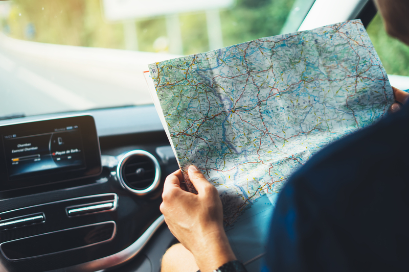
Trenton, NJ – A newly enacted law in New Jersey requires the Department of Environmental Protection (DEP) to develop and provide motor vehicle driving maps for the state’s forests. While the initiative aims to enhance accessibility and navigation for visitors, it also raises concerns about environmental impacts and redundancy in the digital age.
Pros of Developing Driving Maps for State Forests
1. Enhanced Accessibility and Safety: Providing detailed driving maps can significantly improve visitor experience by ensuring they can navigate state forests more easily. Clear maps can help prevent visitors from getting lost, ensuring they have a safer and more enjoyable trip.
2. Promotion of State Forests: By making it easier to explore these natural areas, the maps could encourage more people to visit state forests, boosting tourism and supporting local economies. Increased visitation can also lead to greater public awareness and appreciation of these natural resources.
3. Aid for Areas with Poor Connectivity: Despite the widespread use of GPS and smartphones, some state forests may have areas with poor cellular connectivity. Physical maps can be a reliable navigation tool in these situations, providing an essential backup when digital devices fail.
4. Educational Opportunities: The maps can include information about the flora, fauna, and history of the state forests, offering an educational resource for visitors. This can enhance the overall visitor experience and promote environmental stewardship.
Cons of Developing Driving Maps for State Forests
1. Environmental Impact: Printing physical maps requires paper, which involves cutting down trees and consuming other natural resources. This process can have a detrimental effect on the environment, contributing to deforestation and resource depletion.
2. Potential for Littering: Distributing physical maps increases the likelihood of littering, as visitors may discard maps once they are no longer needed. This can lead to increased waste in state forests, harming wildlife and detracting from the natural beauty of these areas.
3. Redundancy in the Digital Age: Most people now rely on smartphones and GPS for navigation. Investing in physical maps might be seen as redundant, given that digital tools provide real-time updates and more dynamic navigation options.
4. Cost and Resource Allocation: The development, printing, and distribution of physical maps can be costly. These funds might be better allocated to other conservation efforts or digital solutions that can provide similar benefits without the associated environmental impacts.
5. Printing and Distribution Logistics: The logistics of printing and distributing maps to all visitors can be complex and resource-intensive. Ensuring that the maps are updated regularly to reflect changes in the forests also poses a challenge.
Balancing Benefits and Drawbacks
The initiative to develop and provide driving maps for New Jersey’s state forests presents a clear balance of pros and cons. While the maps can enhance accessibility, safety, and education, they also bring potential environmental and financial drawbacks in an era dominated by digital navigation tools.
To mitigate negative impacts, the DEP could consider offering digital versions of the maps as downloadable PDFs, providing a compromise that maximizes benefits while minimizing environmental harm. This approach can cater to those who prefer physical maps without the associated environmental costs, ensuring the effort aligns more closely with modern needs and environmental sustainability.

